
Shoreline Previous Residents by Era
Shoreline address history crosses city, county, library, and state collections. Start with the period you need, then choose the source that was actually created in that period. Modern parcels and recordings form the strongest land trail. Older property cards add building facts and photographs. Directories and census records may identify past residents, but each is only a dated snapshot. Shoreline did not incorporate until 1995, so an older home was then in unincorporated King County even when its current mailing address says Shoreline.
| Source | Years It Covers | Where Held | What It Shows |
|---|---|---|---|
| Landmark recorded-document index | Index reported from 1976; images mostly from August 1, 1991 | King County Recorder | Recorded parties, instrument date, type, parcel or legal description |
| General Recordings Index | 1853-1975 | King County Archives and microfilm | Earlier land instruments and named parties |
| Property cards and assessment rolls | Cards 1937-1972; limited rolls 1866-1937 | Puget Sound Regional Archives | Building details, sketches, photos, assessment and partial ownership |
| Seattle and Puget Sound directories | Digitized selection 1867-1940; scattered Polk runs through 1983 | SPL and Puget Sound Regional Archives | Dated names, addresses, occupations and reverse-address leads |
| Shoreline permits | eTRAKiT 2001-present; city requests 1995-2000 | City of Shoreline | Permit dates, work, status, contacts and review history |
For a recent transfer, begin with the parcel and Landmark. For a mid-century house, prepare the parcel number and legal description before asking the regional archives for a property card. For the people behind an older address, use a reverse directory or dated newspaper only after checking old road and plat language. The Shoreline city directory collections are explained in more depth on their own page.
Anchor Shoreline Resident History
The safest bridge from a modern street number to older Shoreline previous residents is the parcel's legal identity. Search the King County Parcel Viewer by address, select the parcel, and save the parcel number, jurisdiction, and legal description. Parcel lines on the map are approximate, so use them for research context, not as a survey.
The Parcel Viewer also reports facts such as present use, lot area, levy code, and links to property reports. Keep the situs address separate from the taxpayer name and any mailing address. Situs means the physical location of the property. A taxpayer may live elsewhere, and a mailing field may not be shown. Those distinctions prevent an ownership clue from becoming an unsupported claim about who lived there.
Shoreline Resident Property Cards
The Puget Sound Regional Archives holds limited King County assessment rolls from 1866 through 1937 and property record cards from 1937 through 1972. A card may include a photograph, exterior sketch, construction date or description, assessment, segregation dates, and parcel number. It may contain some ownership information. It generally does not supply every owner, purchase price, floor plan, architect, builder, zoning change, or easement.
Access is not organized by a street address alone. Send the branch a compact request packet with the current parcel number, legal description, likely tax year, old and current street terms, and any township, section, or range data. Normal retrieval and research have no fee, although copies or special research may cost money. The branch asks researchers to make an appointment for Wednesday through Friday access, with a midday closure.
View the official holdings page before using the archive image below.
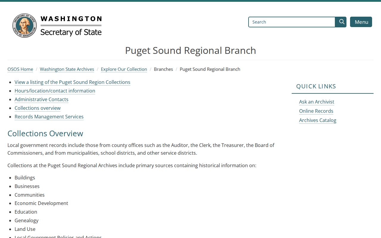
The captured holdings page shows why a parcel-based archive request reaches records that an address-only web search can miss.
Trace Shoreline Resident Records Backward
A deed chain follows transfers in reverse. First identify the present parcel through the assessor or map. Then open the King County Landmark index, which supports searches by parcel ID, grantor or grantee, recording number and date, legal description, document type, and book or page. The online index is reported from 1976 forward, while document images are mostly available from August 1, 1991. Parcel-number searching reaches recorded documents from 1997 and is not consistent until about 2002, so names and legal descriptions matter when a parcel search has gaps.
- Copy the current parcel number, legal description, jurisdiction, and taxpayer name from the county property record.
- Find the latest purchase deed. Record its instrument number, date, parties, document type, and image status.
- Take the seller from that deed and search that person as a grantee to locate the earlier purchase.
- Repeat the link. Search name variants, tract, block, lot, and legal description when parcel indexing fails.
- For 1853 through 1975, ask King County Archives for the General Recordings Index or microfilm route.
- Grantor and grantee
- The grantor gives an interest in land; the grantee receives it.
- Chain of title
- The linked sequence of recorded transfers for one piece of land.
- Legal description
- The formal land description, often based on a plat, tract, block, and lot. It can survive a street-name or number change.
The official Landmark search is pictured below. Its tabs make clear that a name, document, parcel, and legal description are separate routes into the same index.
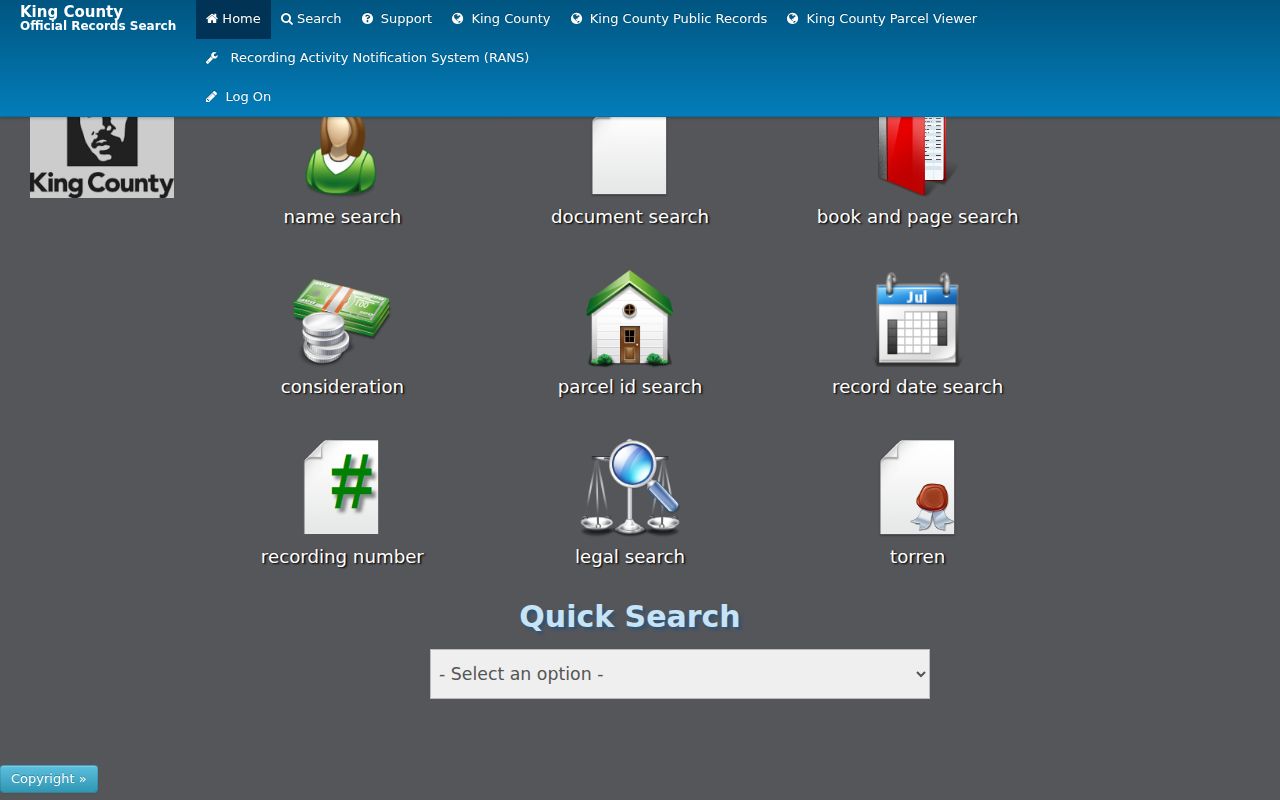
The screen is a starting index, not a certified deed. Inspect the instrument and request an official copy when the wording matters.
Shoreline Resident Permits Split
Permit custody follows Shoreline's incorporation. Search eTRAKiT for records from 2001 forward. Ask the Shoreline City Clerk for 1995 through 2000 material, and route pre-August 1995 work to King County. eTRAKiT permits and projects can be filtered by address, owner, applicant, parcel, and applied or closed dates. Result tabs may show site information, contacts, fees, inspections, chronology, conditions, and reviews.
A contact name is a role, not proof of residence. Record whether that name is an owner, applicant, contractor, or another party. Save the permit number, status, date, and work description. The city permit search instructions and interface shown here document the search controls.
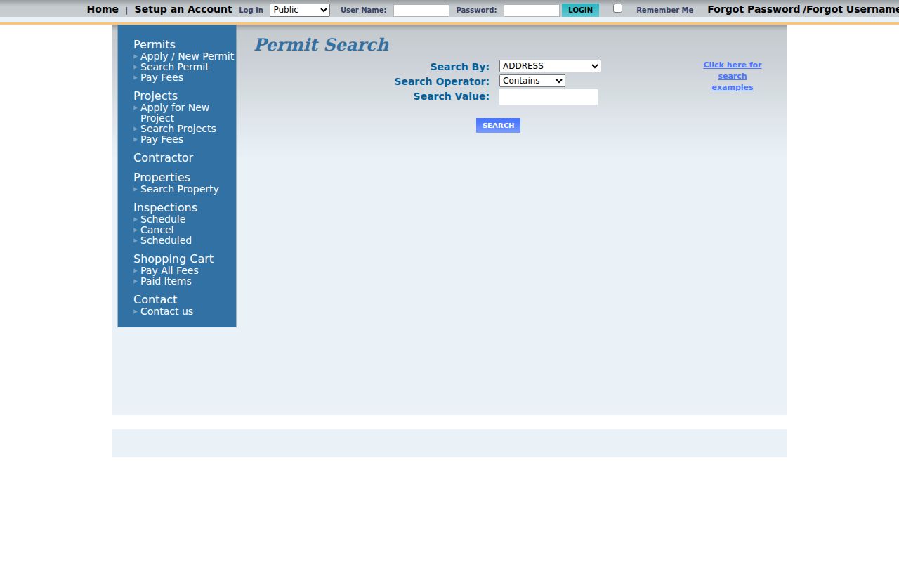
The search-by, operator, and value controls help test old address variants without treating a permit contact as an occupant.
Note: For work before incorporation, label the custodian as unincorporated King County and keep the record year beside the address.
Shoreline Resident Photos Date Places
The Shoreline Historical Museum Photo Finder held 2,071 online photographs as of May 18, 2024. Search a road, school, landmark, neighborhood, or surname, then read the original caption and date. The keyword index includes hundreds of homes, buildings, roads, portraits, and groups. Examples in the research include homes near Echo Lake and Lake Forest Park, plus scenes tied to Richmond Beach, Sheridan Beach, the Interurban, and Playland.
The museum's searchable photo collection appears below.
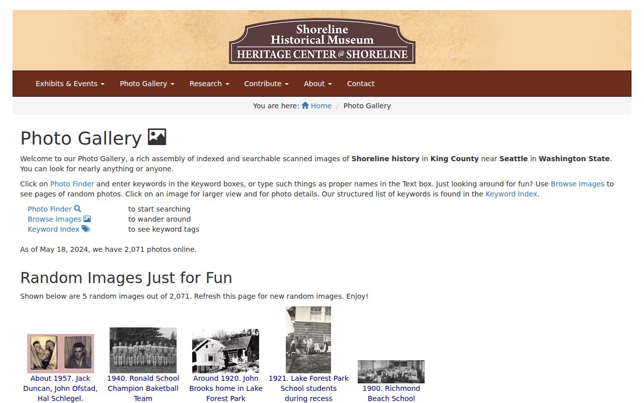
A dated caption can connect a family name to a building, but it remains a historical lead. Pair it with the parcel, deed, card, or directory rather than extending the caption into a claim about current residents.
Sanborn Coverage Stops Short
The Library of Congress has a 1929 Seattle Sanborn fire-insurance atlas with 94 sheets, as well as other Seattle volumes from 1884, 1888, 1893, 1949, and 1950. Such maps can show building footprints, materials, use, and fire features for mapped areas. No separate Shoreline atlas was located in the research, and Seattle sheets may not cover a property that was then in unincorporated King County.
Do not assume a blank atlas result means the building did not exist. Check the Shoreline Historic Property App, historic aerial imagery, plats, permits, assessment cards, and museum photographs. Two inventories within the city app date to 1978, when the area was still unincorporated. Preserve that inventory date and inspect its source record before drawing a conclusion.
Match Shoreline Past Households
Deeds identify recorded parties, not all previous residents. The Seattle Public Library's digitized Seattle and Puget Sound directory selection generally spans 1867 through 1940. Its 1928 house and street directory is arranged in reverse by address. The Puget Sound Regional Archives holds specific Polk years, including 1914-1915, 1919-1920, 1922, 1925, 1931, 1938-1940, and 1948-1983. Gaps matter. Do not imply that a volume exists for every year or that each one includes Shoreline.
Use a short household flow: normalize the modern address, retain older road or plat names, check a reverse directory, verify the name in an alphabetical entry, compare the nearest released census year, then search dated newspapers, probate, or an obituary. A directory listing can name a householder, occupation, or business. It does not prove continuous residence, ownership, or every person in the home. Territorial and school censuses, voter registers from 1916-1935, probate, and marriage materials at the regional archives can extend the trail.
The Seattle Public Library directory viewer shows the regional collection and its search tools.
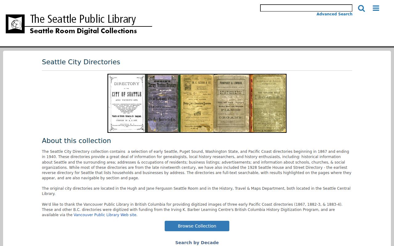
The capture is useful for choosing a year and section, while the scanned page and its publication date remain the evidence for any household lead.
Local road history explains many misses. Richmond Beach was platted in 1890, the Great Northern Railroad arrived in 1891, the Interurban followed in 1906, and North Trunk Road work dates to about 1912-1913. Older sources may use a rail stop, plat, or North Trunk Road instead of today's street form. Keep the original wording next to the modern address.
Lawful use. Research Shoreline previous residents for house history, genealogy, or other lawful personal aims. Never use a historical lead to watch, harass, intimidate, or locate a protected person.